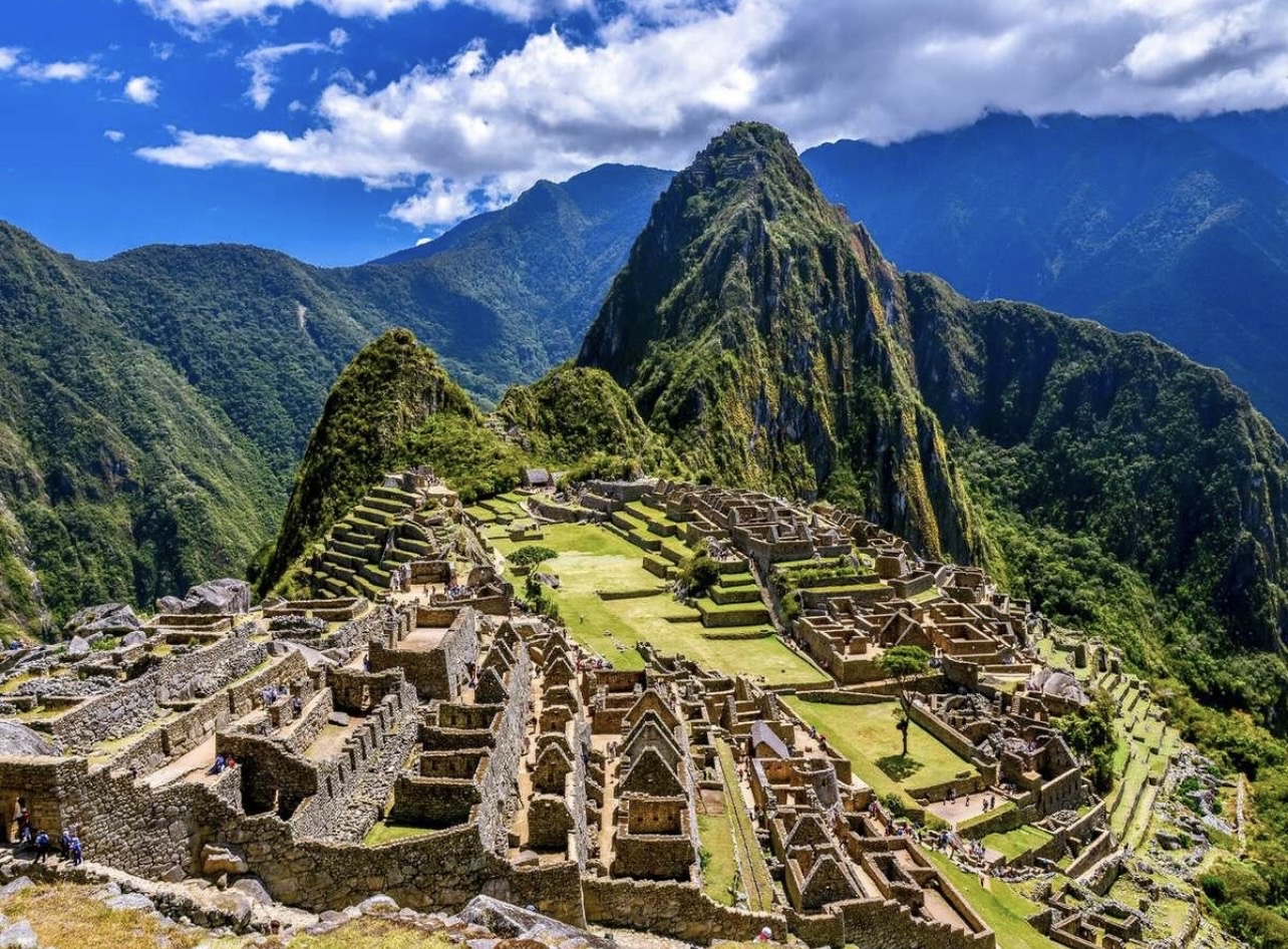
Despite Machu Picchu and its surrounding cultural landscape having held UNESCO World Heritage status since 1983 and remaining a focal point of archaeological study for over a century, the rugged Peruvian Andes continue to guard secrets beneath a thick, green veil. In a remarkable breakthrough, a team of Polish and Peruvian researchers has discovered more than 2.5 kilometres of previously unknown pre-Columbian roads, alongside undocumented terraces, platforms, and circular structures hidden deep beneath the tropical rainforest canopy.
The findings, resulting from intense fieldwork conducted in July and August 2026, are forcing archaeologists to rethink how the wider landscape around the iconic Inca citadel was organized, interconnected, and utilized.
A Battle Against the Rainforest
Investigating the terrain surrounding Machu Picchu is an extraordinary logistical challenge. The research zone sits between 2,000 and 2,700 meters above sea level, blanketed by dense, suffocating tropical vegetation.
Professor Mariusz Ziółkowski, director of the University of Warsaw’s Centre for Andean Studies, told the Polish Press Agency (PAP) that the conditions are so severe that a single researcher spent around three hours clearing a path of just 250 meters through the forest using a machete. Under such extreme conditions, traditional ground surveys are practically powerless, leaving centuries of history effectively invisible to the naked eye.
The Laser Revolution: Seeing Through the Trees
To pierce this natural barrier, the research team turned to cutting-edge technology: LiDAR (Light Detection and Ranging) mounted on drones.
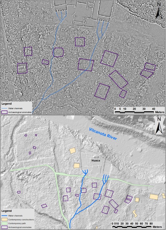
The system fires millions of laser pulses toward the landscape and measures their return time. While the vast majority bounce off the dense forest canopy, a critical fraction filters through gaps in the vegetation to reach the ground level. By digitally stripping away the trees and plants from the raw data, scientists generated a high-resolution, three-dimensional model of the terrain underneath.
This revolutionary technique exposed the first subtle contours of a hidden network. After spotting a route already familiar to locals, the archaeologists deployed broader drone surveys, gradually uncovering a vast, intricate system of paths.
What Do the New Discoveries Reveal?
So far, over 2.5 kilometres of previously unknown pre-Columbian roads have been mapped, with the longest continuous stretch extending for at least 1.2 kilometres. However, researchers emphasize that this is merely the tip of the iceberg. Professor Ziółkowski noted that the current analysis represents only the first phase, and the eventual total network could be at least twice as large.
Alongside the pathways—whose zigzagging design mirrors classic Inca engineering—the LiDAR scans revealed hidden terraces, platforms, and circular structures. This indicates that the landscape surrounding Machu Picchu was far more developed, populated, and structurally integrated than previously understood.
While the layout points heavily toward Inca craftsmanship, scientists remain cautious about assigning a definitive date. Some routes may pre-date the Inca empire, having been later modified, rebuilt, or repurposed across generations.
Expanding the Map of the Inca World
More than 60 archaeological sites are already documented within Machu Picchu National Park, traditionally concentrated on the left bank of the Urubamba River. The newly identified roads on the opposite side—particularly along the slopes of Mount Yanantin and the Mandor region—suggest that the landscape across the river underwent substantial historical development during the Inca period.
To protect these fragile remains from unauthorized exploration and potential damage, the exact geographic coordinates are currently being kept confidential. Meanwhile, the 2026 research team—including Dr. Jan Kłaput and Dr. Bartłomiej Ćmielewski, who supervised the drone LiDAR scanning, alongside Dr. Paweł Dąbek and Peruvian archaeologist Jeff Rocky Contreras Soto—is in discussions with Peru’s cultural authorities to establish a long-term investigative program. This will include expanding LiDAR surveys and targeted excavations.
This remarkable discovery proves that even the most famous archaeological wonders of the world still hold forgotten chapters, waiting beneath the canopy for science and perseverance to bring them back to light.
- Their zigzagging design is consistent with Inca engineering, so some may date to the Inca period, roughly the 15th–early 16th centuries (c. 1400s–1530s).
- However, archaeologists specifically caution that some roads may be older than the Inca Empire and could have been rebuilt or reused by the Incas. The exact dates still need archaeological investigation.
Written by Hidden Civilizations Editorial Team